Climate change threatens our cities
geospatial Data can keep them safe

Cities are complex places
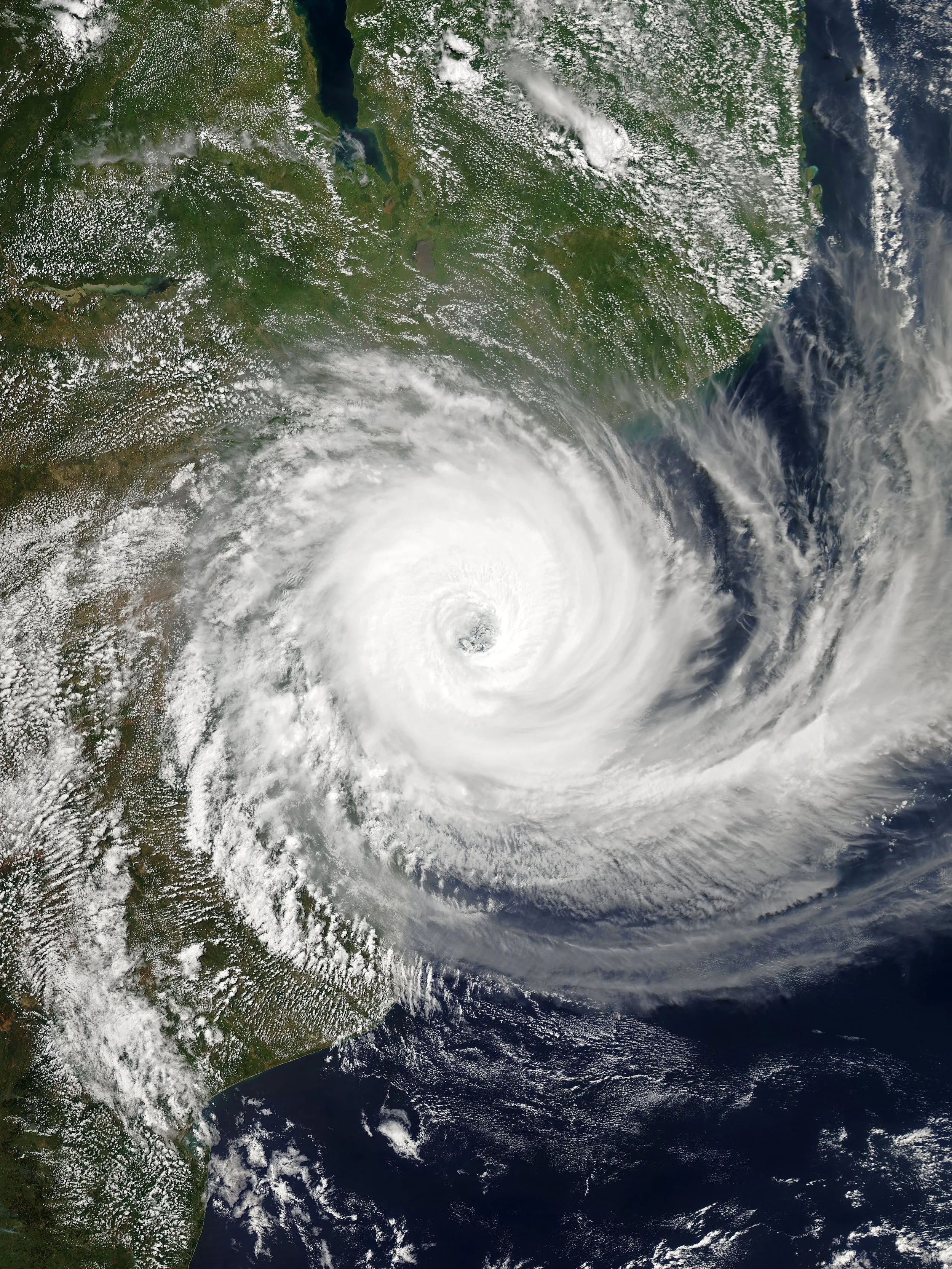
Climate change is a real and intensifying threat to our civilisation. With each passing year, humanity is more at risk. And that risk is concentrated in the same places we concentrate: our cities. Anthropocene Analytics seeks to mitigate this risk.
But cities are complex places, not unlike breathing organisms, just on a larger scale. They depend on systems of interlinked infrastructure, delivering and distributing essentials like food, water, energy and shelter.
This complexity hides complex failure modes. A single break in a single system can cause cascading problems in places that might not immediately be obvious. Finding these points of failure is critical to making cities more resilient in the face of disaster.
discovery through (digital) Disasters
To identify these vulnerabilities, Anthropocene Analytics aims to develop network models of our cities, focusing on the key systems that provide the essentials for maintaining civil life. Leveraging the massive explosion in geospatial and remote sensing datasets, every building, every dwelling and every critical structure is mapped, categorised and associated with key attributes.
Just as important is the way these features of the municipal organism interact with and depend on each other. Thus, these interdependencies are also brought into the model, enabling insights into the system’s complexity. The city is alive, so the model must capture its heartbeat.
Then we take this model and expose it to a wide variety of natural disasters possible in the present and the future. Building on local historical data, as well as the latest science on the projected effects of climate change, we throw hurricanes, bushfires, droughts, and other calamities at the city. Through this, we can discover how it breaks….
…and from these experiments, we identify hidden weak points and vulnerabilities within the city, and supply this information to those stakeholders best able to mitigate them.